
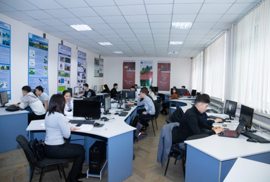
The laboratory is designed to develop practical skills in geophysical and remote earth studies.
Laboratory Goals:
- To use earth remote sensing techniques to solve various problems in geotechnical engineering and geophysical engineering surveys.
- To develop and manage geoinformation systems for prospecting and exploration, including environmental monitoring, precision farming and disaster prevention.
Laboratory objectives:
- Conducting practical and laboratory classes in the frameworks of the OP "Geology and mineral resources exploration", "Remote sensing methods of Earth observation using digital technologies";
- Carrying out geophysical research using geophysical research using remote sensing methods;
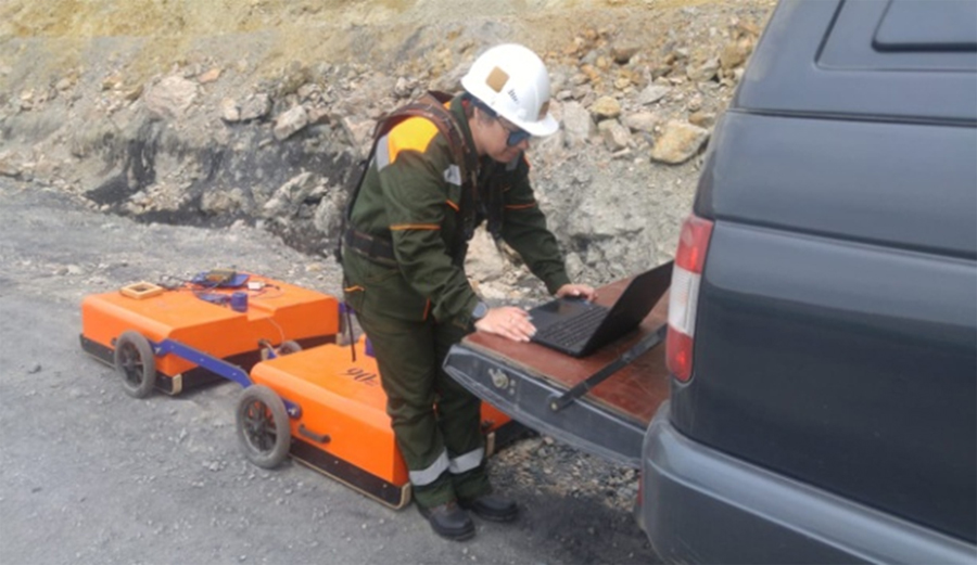
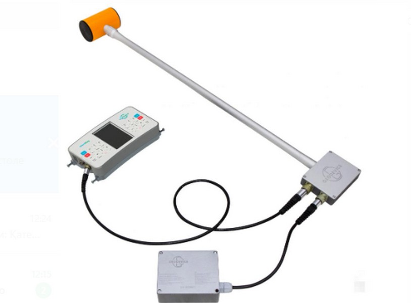
- Carrying out archaeological research with the use of GPR-profiling method;
- Creation of mathematical models of geological, technogenic, industrial objects under study.
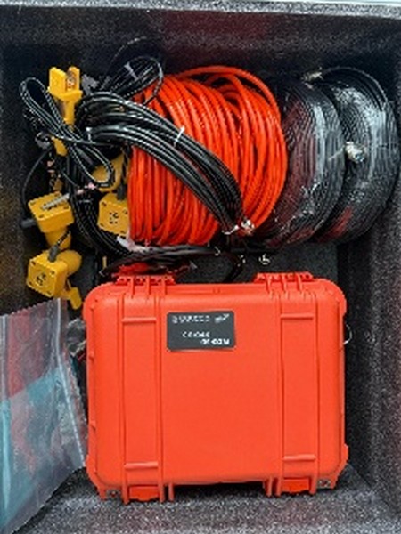
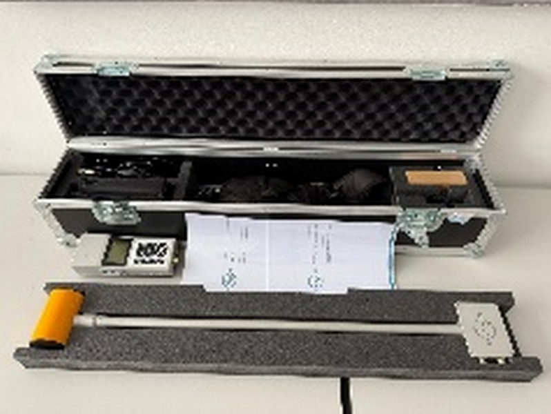
The laboratory is equipped with the following equipment:
- OKO GPR 2;
- Deepgeotech proton magnetometer;
- OPM nelad GPX5000 metal detector.
Software:
- MapInfo Professional 10.0;
- AutoCad, AutoCad, Civil3D;
- Geomatika; MicroMine;
- QGIS;
- Agisoft PhotoScan;
- GeoScan 32;
- Mike Flood.
Goals: engineering-geophysical surveys by GPR profiling method.
Prospective objectives: full range of geophysical surveys at the stages from geological exploration to operation of deposits and mines.
28.04.2025